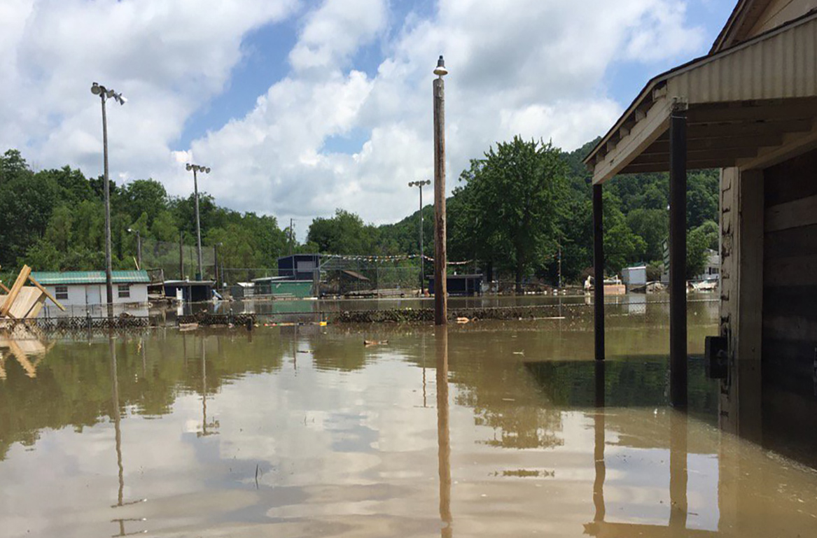
With the West Virginia GIS Technical Center, WVU researchers have created a toolkit to help communities at risk for flooding, like those in floodplains. (Submitted Photo)
Long before flash floods damaged communities in Ohio and Marion counties this month, West Virginia University researchers were studying community resilience in flood-devastated areas of the state. The toolkit they developed will help communities better prepare for such emergencies and recover quicker.
Aaron Maxwell is an associate professor of geography at the WVU Eberly College of Arts and Sciences and faculty director of the West Virginia GIS Technical Center. In collaboration with stakeholders, including the GIS Technical Center and former WVU faculty member Jamie Shinn, now with SUNY Environmental Science and Forestry, and with funding from the National Science Foundation’s Civic Innovation Challenge, the team created a more effective framework for flood response and community recovery in West Virginia.
The West Virginia Flood Resiliency Framework offers analytical and visualization tools designed for anyone committed to strengthening flood resiliency in West Virginia communities. This includes decision makers at local, state, regional and federal levels, as well as floodplain managers, nonprofit organizations, planners and emergency managers.
Maxwell’s framework improves flood-risk knowledge and identifies gaps in organizational capacity that can hinder short-term flood response and long-term recovery. It also determines solutions for the kinds of cross-organizational coordination gaps that were revealed by the massive floods of 2016, when up to 10 inches of rain fell on parts of West Virginia over a period of 12 hours and claimed 23 lives.
For example, the tool’s Risk Explorer can be used to assess the number of critical facilities, historical assets and residences that would be inundated by a 100-year flood event or gather information associated with the number of structures that have been impacted by prior flood events. Additionally, the tool contains resources created by the team such as the Best Practices Guide, designed to assist community leaders in preparing for and responding to flood disasters.
The user-friendly tools include the West Virginia Hazard Library, an online database that allows stakeholders to search hazard resources specific to West Virginia, like the Best Practices Guide, floodplain manager trainings and flood assessment survey results. Additionally, users can check 3D maps and reports to understand their risk of flooding and ways to identify mitigation strategies.
Maxwell said the project began with smaller scale work in a few communities and then expanded to the state level.
“We primarily engaged with the flood hazard management professionals like floodplain managers, regulatory people and then people that are active when there’s an event, like nonprofit or religious groups that help with flood remediation. We had everyone from geospatial professionals and social scientists to people helping with disaster management. And we had community groups and volunteers.”
Multiple local and state organizations also participated, including the West Virginia State Resiliency Office and the Center for Rural and Community Health at the West Virginia School of Osteopathic Medicine.
Prior to the WVFRF, there had not been a systematic documentation of the lessons learned in the 2016 flood, which cost more than $1 billion and was designated a “thousand-year rainfall event” by the National Weather Service. Greenbrier County was one of the counties hit hardest and, years later, residents in some towns there are still recovering and rebuilding.
Flood and natural hazard risks are high in West Virginia compared to other areas, due to steep topography, a humid climate and weak geologic strata in places where landslides are likely to occur. West Virginia has one of the highest per capita inland riverine flooding and landslide rates in the nation.
“We’re in a unique situation, I think, to need these types of tools, because they are real problems,” Maxwell said. “And a lot of people live in the floodplain because that’s just where the flat land is, especially in the southern part of the state. It’s basically steep hillsides and floodplains, and it’s not easy to move out of the floodplain, either.”
All 55 West Virginia counties have a high level of risk for flooding. The state lacks a long-term flood recovery plan and, as such, its response to floods has been inefficient, according to the researchers, who focused on accessing those lessons to prepare for future flood response and recovery.
“The goal is to have WVFRF be a one-stop shop for any people needing information about community-level flood resiliency or socioeconomic data,” Maxwell said. “We have data for towns and incorporated areas, the unincorporated counties, regions and then watersheds and river basins.”
The framework will be applicable in a variety of situations.
“We think it will be helpful for groups that want to write grants for their communities, for mitigation projects or for FEMA-related projects,” he said. “They’ll be able to make a point of what and where their risks are and how to reduce those quantified risks.”
The project is unique to West Virginia and holds the potential for expansion into other states with similar challenges. The researchers have had conversations with groups in North Carolina and eastern Kentucky — places that have recently seen significant flooding — and are hoping to integrate the data into frameworks that also deal with landslides.
“I don’t think there’s any other state that has something like it,” Maxwell said. “We’re ahead of the curve. But I do think other states are going to be looking at this as an example of what they want to produce for their own states.”
He added that the flash flooding that occurred in northern West Virginia over June 14 and 15, which claimed several lives, “is a clear indicator of the need of such tools to aid communities in understanding risks and preparing for hazards. It also highlights the important work of floodplain managers and emergency responders, which we hope will benefit from the West Virginia Flood Resiliency Framework.”
-WVU-
lj/6/17/25
MEDIA CONTACT: Laura Jackson
Research Writer
WVU Research Communications
304-293-5507; Laura.Jackson@mail.wvu.edu
Call 1-855-WVU-NEWS for the latest West Virginia University news and information from WVUToday.